Trail guide hub

Moab trail guides.

Vehicle, group, weather, skill, time, risk.

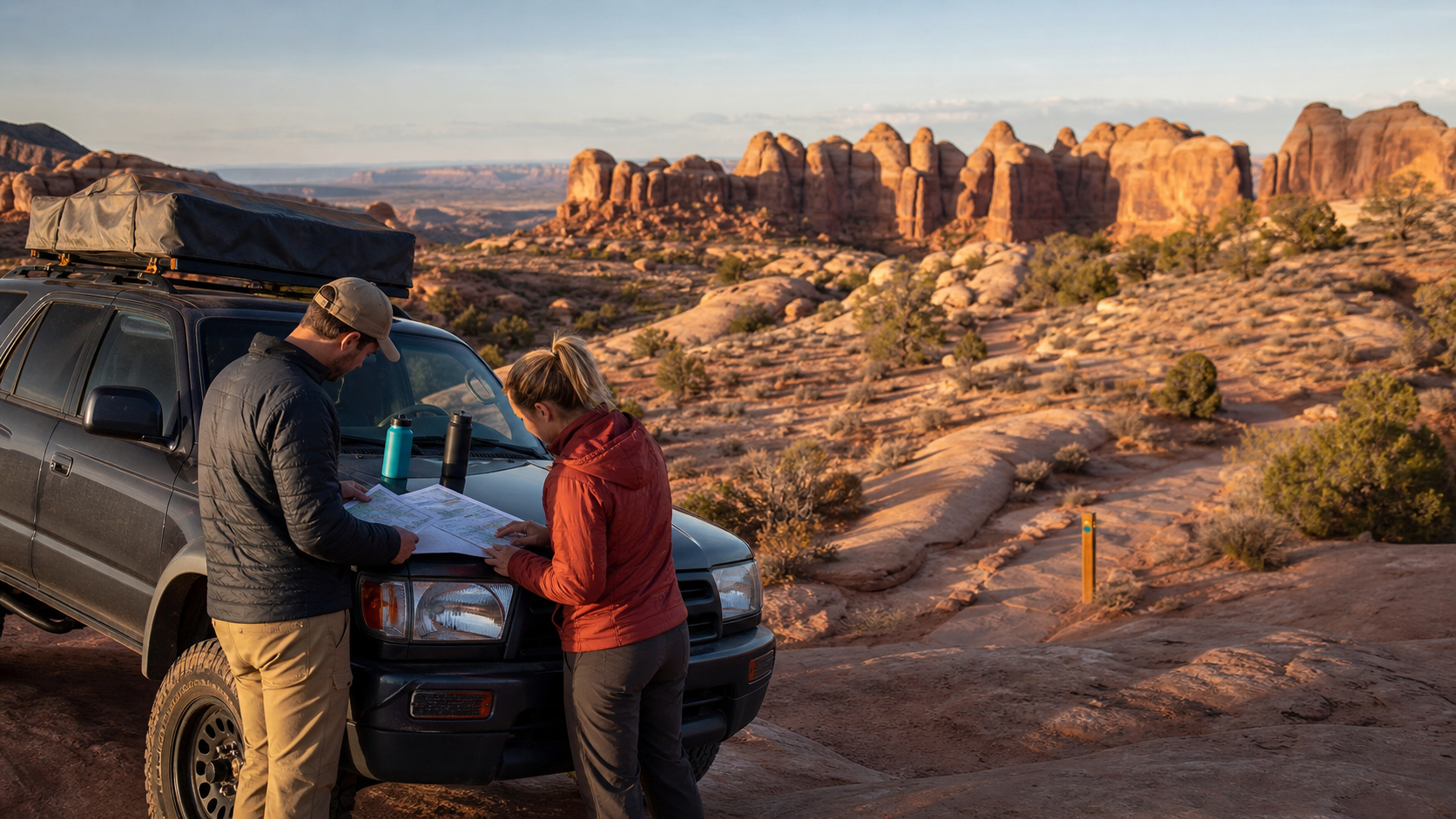
A Moab trail planning scene on red slickrock
Direct answer

Start with fit, not fame.

Driver, vehicle, weather, daylight, group. Then trail.

Comparison guide

Best Moab off-road trails by vehicle and skill level.

Vehicle, driver skill, exposure, weather, fallback.

Open the trail fit guide
Map context

Trailheads around town.

Moab, Sand Flats, Potash Road, Kane Creek.

Sand FlatsPotash RoadKane Creek
  1. Sand FlatsHell's RevengeNear town, fee/rule checks matter first.BLM Hell's Revenge Trailhead coordinates
  2. Sand FlatsFins & ThingsNear town, fee/rule checks matter first.BLM Fins and Things Trailhead coordinates
  3. Potash RoadPoison Spider MesaWest river corridor with limited staging margin.BLM Poison Spider Mesa Trailhead coordinates
  4. Kane CreekChicken CornersLonger scenic commitment south and west of town.BLM Chicken Corners Trailhead coordinates
4x4 / UTV / guided tourSand Flats Recreation Area

Hell's Revenge

Choose Hell's Revenge when the group wants classic slickrock and has the driver skill, vehicle, weather window, and risk tolerance for exposed terrain.

Difficulty
Experienced drivers only
Distance
About 6.5 miles by Grand County; BLM trailhead access in Sand Flats
Operator match
Moab Tour Company, High Point Hummer, Twisted Jeeps
Review trail fit
4x4 / UTVSand Flats Recreation Area

Fins & Things

Fins & Things is often the better Moab slickrock choice when the group wants real 4x4 driving without starting with Hell's Revenge exposure.

Difficulty
Experienced drivers; one-way sections
Distance
About 10 miles by BLM
Operator match
Moab Tour Company, High Point Hummer
Review trail fit
4x4 / MTB / hiking accessPotash Road / Scenic Byway 279

Poison Spider Mesa

Poison Spider Mesa fits capable vehicles, experienced drivers, and groups that have checked weather, recovery gear, time, and official access.

Difficulty
Harder Moab day
Distance
16-mile 4x4 loop by BLM trailhead description
Operator match
Moab Tour Company, Outlaw Adventure Tours
Review trail fit
Scenic 4x4Kane Creek / Hurrah Pass

Chicken Corners

Chicken Corners fits groups that want a scenic canyon-and-river off-road day instead of steep slickrock drama, with weather, water, daylight, and road checks.

Difficulty
Scenic, lower consequence by Moab standards
Distance
Out-and-back route; confirm current mileage before departure

Operator match
Barlow Adventures, Twisted Jeeps
Review trail fit
Moab Ready angle

What maps leave open.

Whether the trail matches the group’s actual experience and risk.

Which official source must be checked before leaving town.

What fallback keeps the day useful when conditions change.