38.5733° N / 109.5498° W

Moab Ready

One good plan beats 47 open tabs.

Tell us who came, what you drive, when you’re going, and the one thing you don’t want to miss.

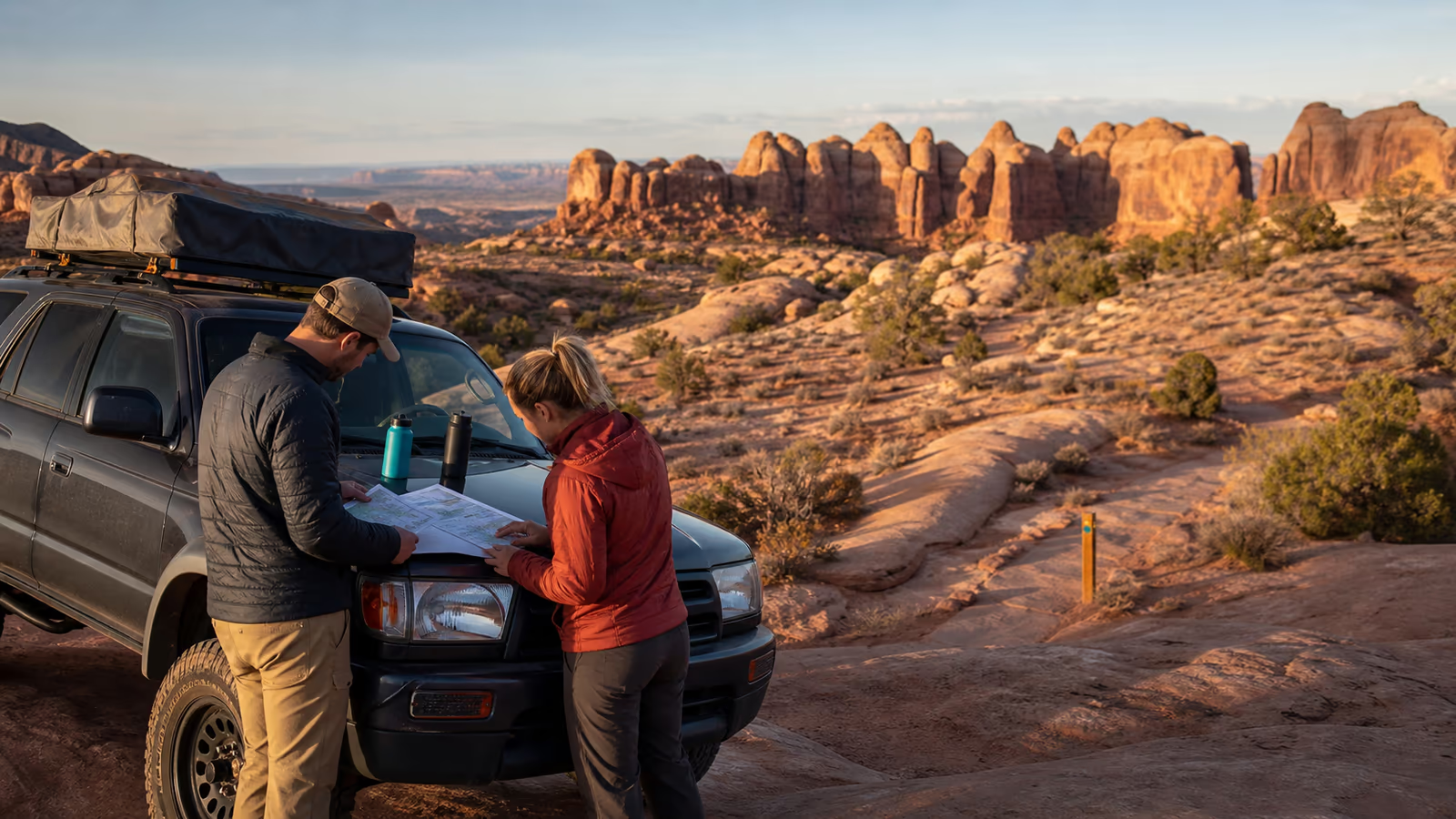
Two travelers checking a paper map beside their 4x4 in Moab
Devil’s Garden, 7:18 AMPlan before signal drops
Your crewStock SUV · first visit · low exposureGood first moveChicken Corners
The useful part

1,066 trails is not a plan

A route has to fit the least comfortable person, the actual vehicle, today’s weather, and the road home.

2 adults · 2 kidsRental JeepLow exposureJuly heat
Loading verified geometry
room to turn around ↗
Today

Chicken Corners

Scenic payoff, lower exposure, room for the group to change its mind.

Leave
7:40 AM
Drive
Stock 4x4
Watch
Heat after noon
Plan B

Fins & Things

Shorter day, closer to town, easier to call when the heat wins.

That answer changes when your group does.

Build my plan
No mystery score

When the plan changes, we tell you why

Weather, park alerts, road access, rental rules, passenger comfort. The owner source stays one tap away.

Check current conditions
01NWSWeatherClear morning
02BLMRoadsCheck before leaving
03NPSPark alertsOfficial source
04Grand CountyLocal roadsOfficial source
Who came with you?

The same Moab day does not fit everyone

Still useful out there

Your route, Plan B, maps, and checks stay together

Save it to your phone, print it, or send it to the people who’ll ask where you are.

Open my trip
My trip
Loading verified geometry
TodayChicken Corners Open map
Plan BFins & Things
signal optional
good judgment required

Sometimes the right plan comes with a local

Guides, rentals, shuttles, lodging, food, and repair matched to the trip instead of sold as a list.

Find local help
Field checklist

The things people remember five miles too late

Water, maps, weather, road checks, and a real Plan B. One short list before you leave town.